NOTES FROM A GEOMORPHOLOGY CLASS:
- Events at the Earth's surface
- Processes bringing things down to a common level
- Weathering (disintegration of rock in place)
- Physical
- Expansion because of heating
- Crystal growth
- Removal of heavy weight above
- Activity of plants & animals
- Chemical
- Hydration
- Hydrolysis
- Oxidation
- Carbonation
- Solution
- Physical
- Mass wasting or removal by gravity
- Landslides
- Mudflows
- Erosion
- Running water
- Groundwater
- Waves, currents, tides & tsunami
- Wind
- Glaciers
- Processes that build things up
- Running water
- Groundwater
- Waves, currents, tides & tsunami
- Wind
- Glaciers (more info)
- living things, including humans
- events inside the Earth
- Continental drift (more info)
- Volcanism
- events off the Earth
- Meteorites
GEOLOGY MAPS
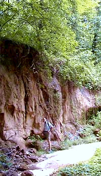
One of the best ways to start understanding the basic character of your local natural landscape is to study a good geology map of your area. Geology maps can tell us what kind of bedrock outcrops in our area and may show features such as local faults, mineral mines and wells. They'll indicate the geological age of your local outcrops, which enables you to know what kinds of fossils you might expect to find. Below is a typical state-geology map, this one for Kentucky.
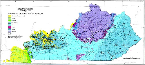
Someone living, say, in the bluish region at the easternmost end of the state (the Appalachian Mountains), upon checking the color legend on the map's left side finds that the bedrock outcropping there is "Pennsylvanian" in age -- a subperiod of the Carboniferous Period. Other sources tell us that this occurred 323.2 to 298.9 million years ago.
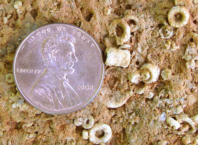
The Pennsylvanian subperiod is described as a time of frequent advance and retreat of shallow seas, during which many nonmarine areas near the Equator became coal swamps. Therefore, today coal mining is important wherever land is exposed where those former swamps occurred. Also, knowing the age of the outcropping rock, we realize that in this area we shouldn't look for dinosaur remains, because dinosaurs hadn't yet arisen! The most common Pennsylvanian fossils are corals, brachiopods, trilobites, crinoids (stem sections of which are seen in the accompanying picture), and of course the coal itself is fossil organic matter in which ancient swamp vegetation sometimes can be recognized.
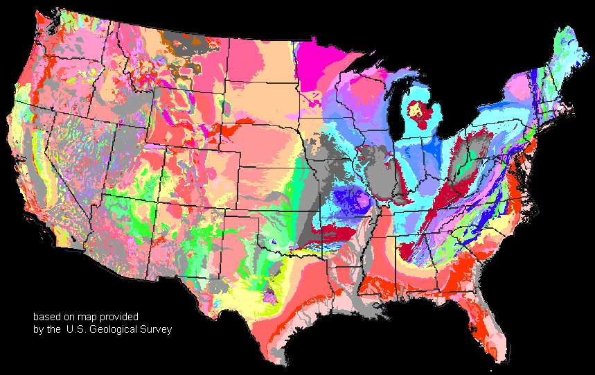
Geology maps covering small areas may be so detailed that the exact geological formations individual houses sit atop may be determined. The formation's name can be looked up to find all sorts of details specific to the backyards of those houses. On larger-scale geology maps such as the one at the right we can see where where larger formations extend to or reappear nationwide. On that map we can see that eastern Kentucky's Pennsylvanian outcrops (in red) extend over several states, and wherever it outcrops we can guess that coal mining has created enormous environmental and social impacts.