 Sir Charles Lyell sometime between 1843-47, as he may have looked during his visit to Natchez in 1846; public domain image courtesy of the New York Metropolitan Museum of Art and the Harris Brisbane Dick Fund, 1937, made available by Wikimedia Commons
One of the first scientists to visit our Loess Hills was English geologist Sir Charles Lyell, who visited the wild western frontier town of Natchez, Mississippi in 1846. Eventually Sir Charles would be known as one of the fathers of modern geology. He is credited for introducing perhaps the most insightful tenets on which the science of modern geology is based, that of the Doctrine of Uniformitarianism.
That doctrine states that the Earth has always changed in uniform ways, so the present is the key to the past. In other words, if today we see glaciers carving out U-shaped valleys between mountain peaks, glaciers also carved U-shaped valleys between mountain peaks long ago.
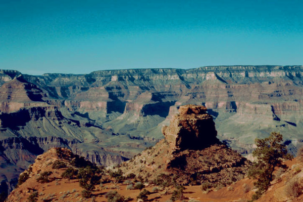 The Grand Canyon: A few thousand or many millions of years of erosion? Image courtesy of Gary Stolz, US Fish & Wildlife Service
This sounds like a very simple thought, but one of its implications is that if rivers erode valleys, as we see they do very slowly now, then a gorge such as the Grand Canyon must have been eroded over a period of many millions of years. Back in Sir Charles's time, the Earth, on Biblical grounds, was considered to be only a few thousand years old, so his Doctrine of Uniformitarianism was nothing less than a revolutionary, heretical proposition.
Despite the accuracy of Sir Charles's Uniformitarianist views, what he saw at Natchez must have disturbed him greatly. That's because he knew of no geological process going on at that time that could explain how Natchez's silt-covered bluffs might be formed. It is certain that he was struck by what he saw, for he wrote the following about it:
From this brief statement we can see that Sir Charles was already making certain mental connections that later would help explain where loess comes from. Points Sir Charles noted included these:
- There was at least one other place in the world where the same thing has happened as at Natchez
- At this other place -- along the Rhine Valley as seen at the right -- the bluffs also occured alongside a great river
- The "yellow loam" lay atop other geological features, not beneath or sandwiched between
- Non-marine fossils were associated with both deposits
- The special "loam" in question was called "loess."
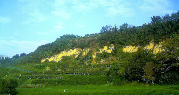 Loess bluffs in the Rhine Valley, near Eichstetten am Kaiserstuhl, Baden-Württemberg, Germany; copyright free image courtesy of "Pictures Jettcom: and Wikimedia Commons
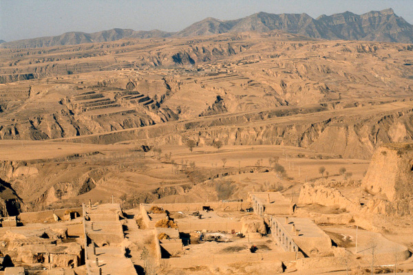 Loess landscape near Hunyuan, Datong, Shanxi Province, China; copyright free image courtesy of Till Niermann made avaiable by Wikimedia Commons
It would be a few years before others would point out that our loess-based landscape occurs many places besides the Mississippi River's western floodplain border and Germany's Rhine Valley. Farther afield there are massive deposits in Ukraine, the Siberian steppe region, the area east of the Caspian Sea in Kazakhstan and Turkmenistan, and there is even some in northern Africa. Perhaps the most extensive accumulation anywhere in the world is in northeastern China.
Our own remarkable loess landscape may indeed be exotic looking, then, but it is by no means unique in a worldwide context. On the other hand, when we consider southern North America, our Loess Hills are indeed one-of-a-kind. Only in our Loess Hills does loess profoundly affect the ecology of plants and animals native to southern North America.